


ilpadrino
03: Full Members
-
Joined
-
Last visited
Everything posted by ilpadrino
-
For his giraffe-like qualities?
-
Imbibing Copious Toddies?
-
-
I'm glad Uncle Bert took his glasses off before going in goal.
-
Brand new is Shane Sutherland @shaneo9018 (currently 1 tweet, 1 follower) Billy McKay @billymckay22 David Proctor @proctheneck2 also seems to have sorted out his spam
-
They've had to move it again, to over the back wall, in front of the lockups. His mother's refusing to fold up the washing line.
-
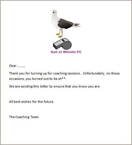
Maybe they could send out something like this one from another club.
-
A message from your beloved Katherine
-
I heard yesterday that he was very excited about a move to Falkirk.
-
You could try this or this
-
You're right - when there's football on, it just shows a message telling you you're not getting to see it.
-
"Craig Thomson has been told to stay away from Hearts for the time being..." Scotsman
-
He gives playing with the U-16s a whole new meaning.
-
What about Epeli Bola? He's pretty nifty on the wing.
-
If this is the betfair handicap bet, Rangers+2 (max 95), Hearts+27 (max 96), and Kilmarnock+41 (max 95) can still Beat ICT+46 (min 93). No, its just a straight forward 46 points or less behind winners of the league on Bet365 put on in July last year. Same here - I had 9/1 on ICT to win the league +48 pts - nice little earner - thank you Mr Rooney.... They're both better value than my bet then, and I won't collect until Wednesday at earliest.
-
If this is the betfair handicap bet, Rangers+2 (max 95), Hearts+27 (max 96), and Kilmarnock+41 (max 95) can still Beat ICT+46 (min 93).
-
It's official - the SPL aren't counting the penalty - their website has the score as 3-1 (or at least it did when I posted this).
-
Well, now that the pre-split games are finally done, we only missed it by 3 points: 41 to Motherwell's 44, with a better goal diference. Motherwell's the only team in the top six with a negative goal difference, and we're the only team in the bottom six with a positive difference. If we vote for AV tomorrow, can we be top six this year?
-
The "Raoul Moat You Legend" group had thousands of members inside a week. I wouldn't base the rest of my life on that. By the way, as the site says... ...shouldn't you reset the counters when you change what they may or may not agree with?
-
Half-time at East End Park: Steak bridie Half-time at Starks Park: Fag It's a tough one.
-
That's something else! Seen from a different angle: http://www.youtube.com/watch?v=z57n5DA9uDA might explain why the ref missed it, but I don't think the linesman has any excuse.
-
That one's going to guarantee YouTube immortality.
-
How about this song about passing? http://www.youtube.com/watch?v=9osbpEHvQVE
-
Their team bus left before 3pm, and now they've got nothing to do tonight.
-


Important Information
We have placed cookies on your device to help make this website better. You can adjust your cookie settings, otherwise we'll assume you're okay to continue. : Terms of Use : Guidelines : Privacy Policy